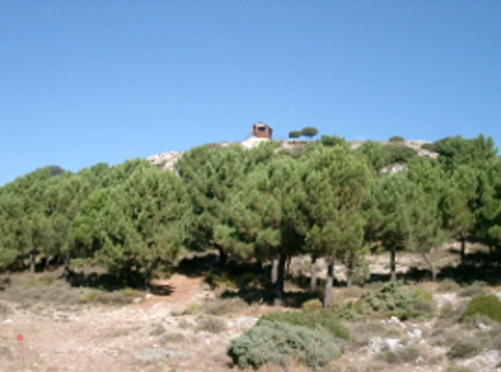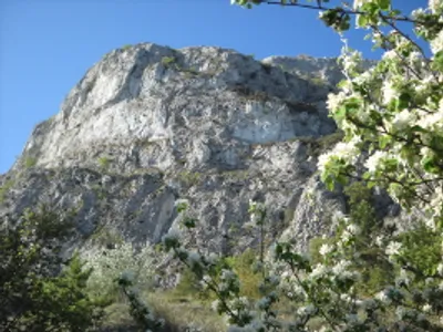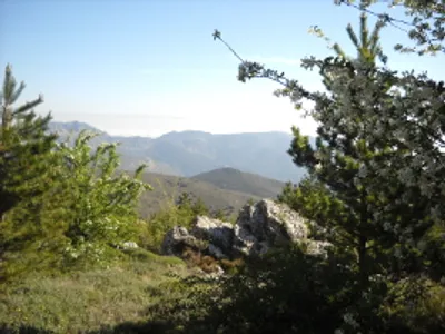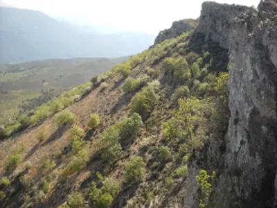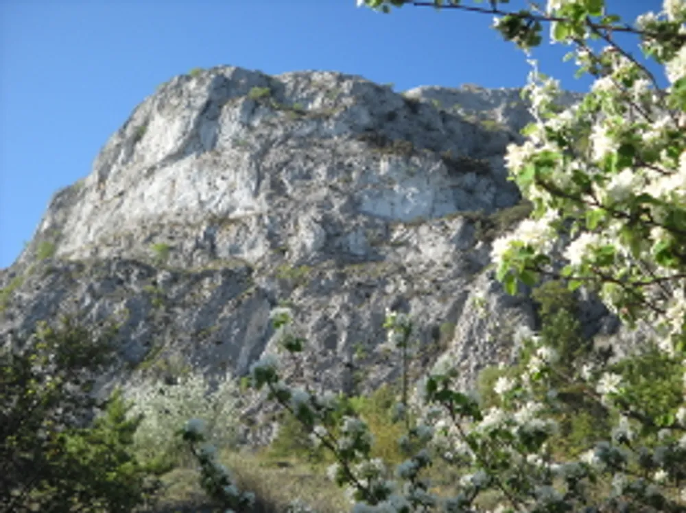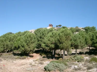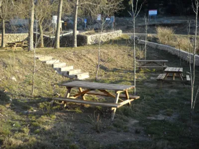
Route 1 · El Pirineo Confrides – Castellet de Confrides
- Distance
- 10.5 km
- Time
- 2 h 15 min
- Elevation of Confrides
- 785 m
- Elevation of the Castellet
- 1105 m
- Difficulty
- Moderate
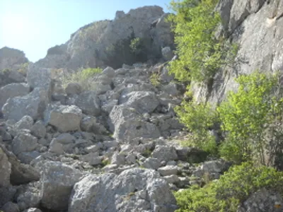
- The last metres of the ascent have a steep slope.
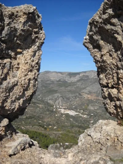
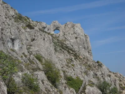
Confrides, a different, charming place, ideal for hiking
Confrides is a different, charming place, and one of the most suitable for hiking. It belongs to the Marina Baixa region and is the highest village in the Guadalest Valley, at 785 m.
Within its municipality are the mountains of Aitana (1558 m) and Serrella (1480 m). Both mountains have short-distance routes (PR). We have maps that will be helpful.